We develop mountain models, compare their outputs with available observations and build tools that make the results useful. This is the research record behind Mountain Weather, Mountain Conditions and our cartography.
Technical notes
A record that can be examined.
Each note has a stable identifier, a date, a version and an explicit scope. Notes are company publications; external review is identified separately when it has taken place.
Weather supplies the changing conditions. Terrain shapes their local effects. Observations and recorded events provide tests of the result.
Public service + development research
Mountain atmosphere
Summit and route weather, terrain-shaped wind, cloud and the conditions people experience on the hill. Mountain Weather provides the public weather service.
Snowpack reconstruction, redistribution, avalanche processes and satellite screening. Recorded avalanche cases help examine where the model matches the reported process and where it falls short.
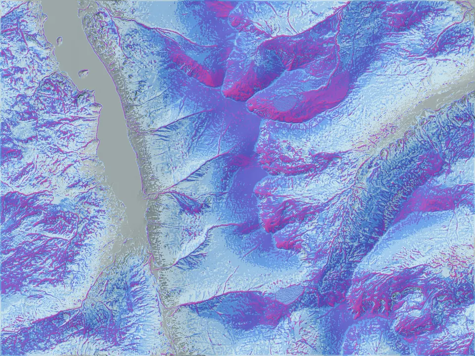
High-resolution elevation data and regional mapping sources brought into a consistent, adaptable visual system for digital maps, print and project-specific analysis.
Wind, air and snow measurements to test model assumptions alongside sensor health, power use and missing data. Field deployments depend on suitable sites, permissions, funding and an agreed evaluation plan.
How people interpret mountain conditions, when plans become difficult to change, and whether practical alternatives help. Study design and evaluation would precede claims about improved decisions or safety.
We are exploring a small field trial to measure wind, air and snow conditions alongside the models. Sites, funding, hardware and operating arrangements are still to be agreed.
A question to test
Choose a measurable uncertainty, such as wind exposure at an instrument location or changes in snow depth. Agree the reference measurements and the evidence needed for a useful result.
A viable field site
Confirm landowner permission, access, instrument exposure, power, communications and maintenance. Record icing, outages and measurement quality beside the observations.
A clear end point
Agree duration, costs, responsibilities, data access and review milestones before installation. Evaluate performance and failure modes before proposing a continuing service.
Any public case study or named collaboration would require separate agreement. Participation terms and equipment costs are project-specific.
A demonstration, a historical reconstruction and an independent field evaluation answer different questions. We identify that distinction beside the work.
Development comparison
Mountain wind
Mountain Weather publishes a summit-wind comparison and explains its measurement basis. A development comparison does not establish forecast performance across every mountain, season or lead time.
Mountain Conditions links documented events to model reconstructions. Matching a recorded event is different from verifying a forecast preserved before the event occurred.
A continuous Iceland map corridor at three nominal scales demonstrates the cartographic system. The study describes the output and its limits without implying a customer deployment.
Technical notes explain inputs, interpretation, evidence and limitations. Source code, calibration details and commercial datasets are considered separately. Access and reuse depend on the relevant source licences and any agreed project terms.
We name customers, collaborators, evaluators and funders only with permission and describe their actual contribution. A citation or a discussion does not imply endorsement.
To query a result or suggest a correction, email hello@spatialterrain.com with the page or note identifier. Material corrections will receive a dated revision.
Have a question these systems could help answer?
Define an evaluation, mapping brief or research study with us.