Work with Spatial Terrain
Detailed mountain mapping. Terrain-aware snow analysis.
We develop high-resolution maps and models that show how mountain terrain shapes wind, snow and avalanche exposure. Work with us on a specific landscape, a historical event or a research dataset, in the UK and beyond.
Discuss your project →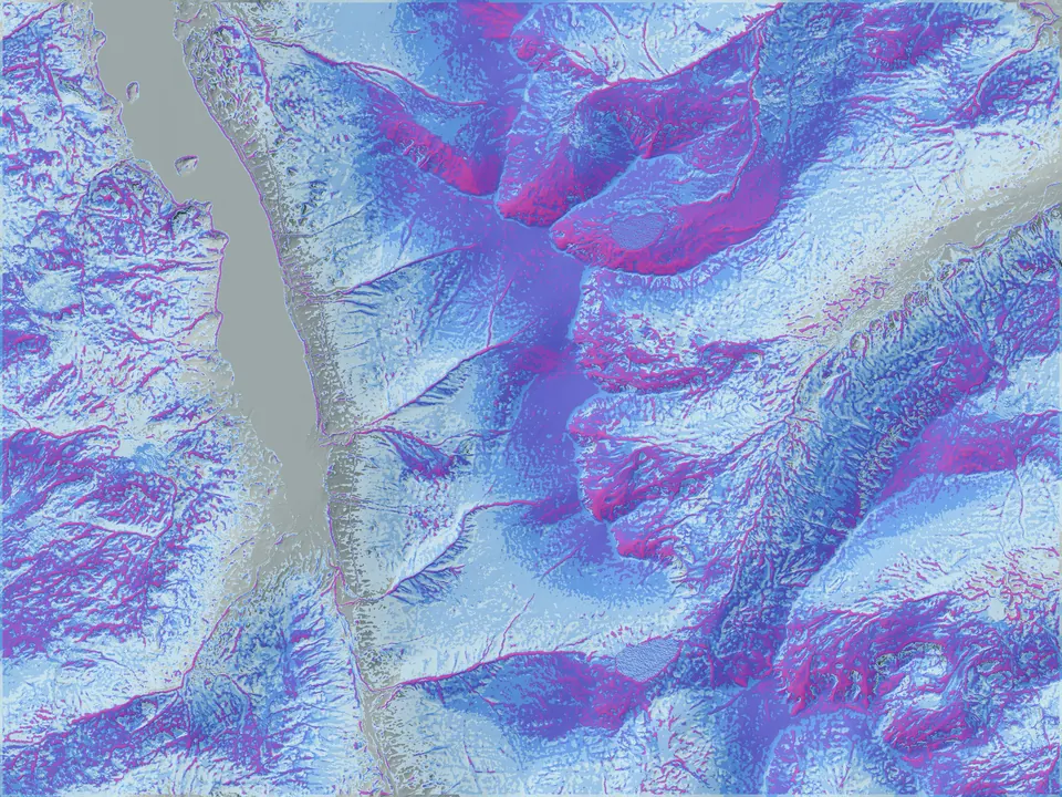
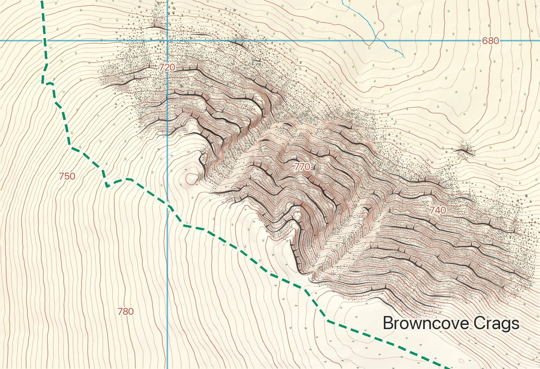
Terrain and vegetation © Environment Agency; habitat © Natural England; vectors © OpenStreetMap contributors.
Custom mapping
A map designed for your landscape and its use.
Detailed topographic mapping for visitor signboards, walking maps, land management and planning. We bring regional data into a consistent style, with symbols, colours and the level of detail adapted to the brief.
- Scales: 1:5,000, 1:10,000 and 1:25,000, subject to source coverage.
- Formats: print-ready sheets, web maps or agreed GIS layers.
- Starting point: a sample area to review the detail, styling and intended use.
Our cartographic system is under active development, with examples from Britain, Iceland, Spain and New Zealand.
Discuss a mapping brief →Snow and terrain studies
Understand what changes across a mountain.
Investigate exposed ridges, sheltered slopes, snow accumulation and the terrain that shapes avalanche exposure. We can reconstruct historical conditions to examine a particular storm, snow season or recorded event.
A study can deliver: mapped model layers, time-series visualisations and a concise interpretation of the result, compared with available observations and clearly labelled where evidence is limited.
For ski areas and mountain operators
We can explore a terrain model for a ski area, including regularly updated displays of estimated snowfall, snow depth and wind redistribution. Local measurements could help test and refine the outputs.
A live ski-area service is a potential development project. Data coverage, update frequency, validation and support would be agreed before operational use. Research layers do not replace avalanche forecasts or on-site safety decisions.
Discuss a mountain study →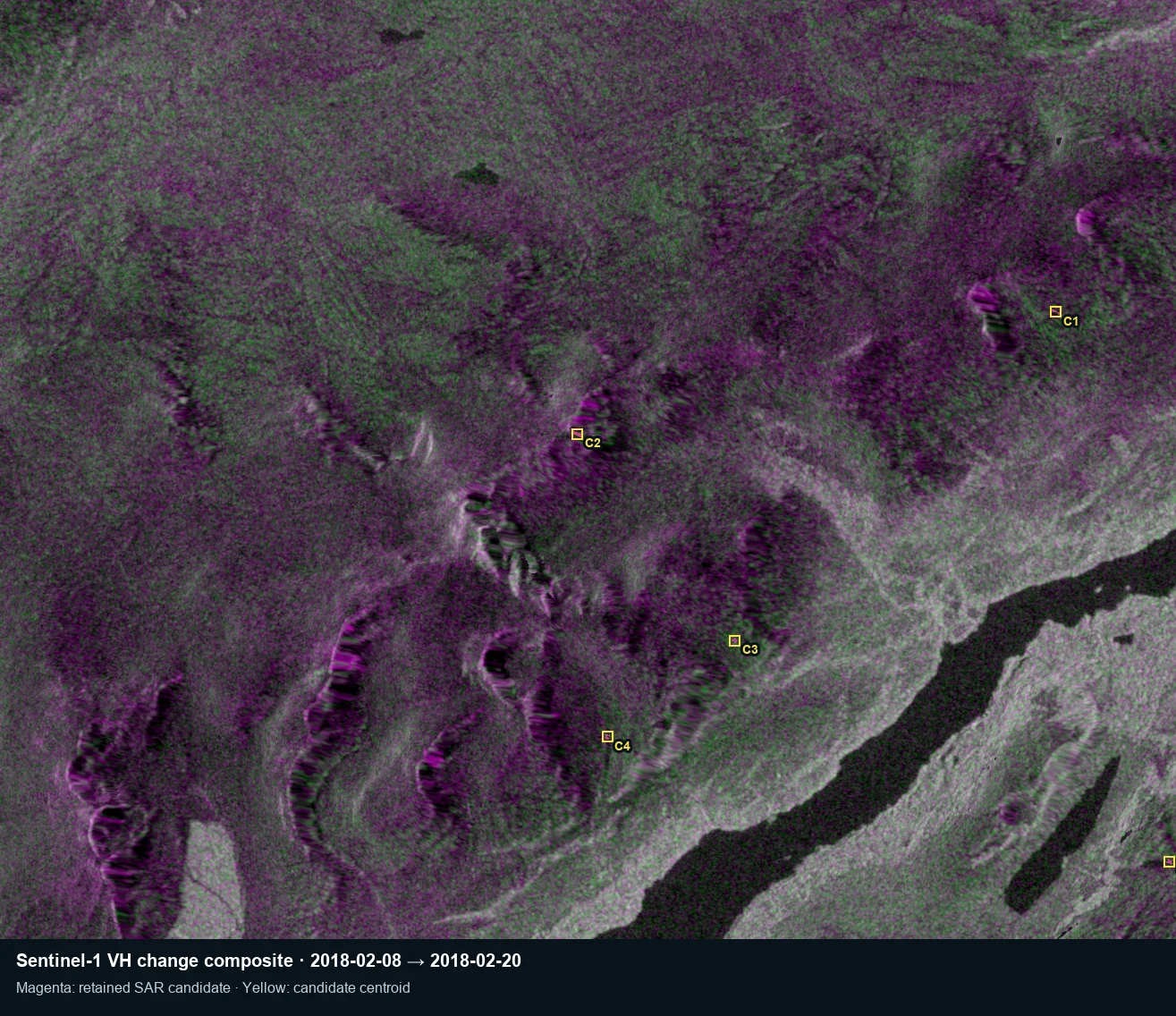
Satellite avalanche research
Build a clearer record of past avalanches.
Through Mountain Conditions, we are adapting established Sentinel-1 satellite radar research to the UK. We look for changes that warrant further investigation, then test candidates against finer-resolution imagery, different viewing directions, terrain and snow conditions.
We welcome work with avalanche services and research organisations on historical searches, candidate datasets and comparison with recorded events, in the UK and beyond where suitable satellite coverage and reference evidence are available.
A collaboration can deliver: a screened candidate dataset for an agreed area and period, its evidence status and an assessment against available event records. A radar change alone cannot confirm an avalanche.
Explore the satellite research →We welcome enquiries about custom mapping, snow and terrain studies, and satellite avalanche research. Whether you are planning a map, investigating past conditions or exploring a model for a ski area, we would be glad to discuss it.
We are also open to related LiDAR and spatial-intelligence projects where our mountain research can make a useful contribution, in the UK and beyond.
You do not need a finished brief. Email us a short outline of your project and what you hope to achieve, and we can discuss a practical first step.