Avalanche modelling
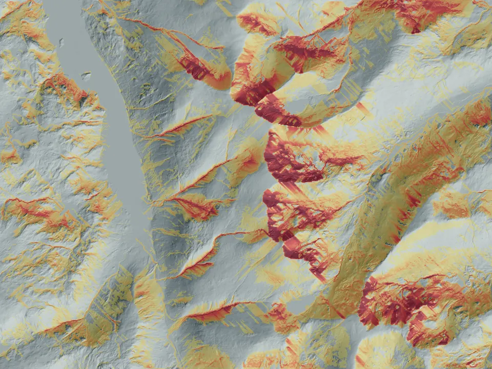
LiDAR-based models of snow distribution, release potential, exposure, persistent weak layers, glide and cornice growth.
View the modelling work →Spatial Terrain
Spatial Terrain is an independent UK geospatial engineering company founded by Simon Grogan. Its mountain mapping and snow research combine open terrain data with weather inputs, the SLF SNOWPACK model and Sentinel-1 radar imagery.
Our focus
Our work connects mountain weather, snow processes and detailed mapping. Fine terrain data helps us represent local differences; observations and recorded events help test whether the resulting estimates are useful.
LiDAR-based models of snow distribution, release potential, exposure, persistent weak layers, glide and cornice growth.
View the modelling work →Copernicus Sentinel-1 satellite radar analysis for screening possible avalanche debris and building evidence in data-sparse regions.
View the detection work →Adaptable topographic mapping from 1:5,000 for planning, operational, research and public-facing applications.
View the mapping work →Snow and avalanche research
Our research platform brings terrain, snowpack processes, weather and documented avalanche evidence together at slope and route scale.
Visit Mountain ConditionsPublic weather service
Our public weather service translates meteorology and terrain into forecasts for mountain activities, supported by published methods and a developing verification record.
Visit Mountain WeatherFounder and principal developer
Simon is a Mountain Leader and member of the Royal Meteorological Society.
Simon leads the software and model development, bringing his experience on the hill to questions about snow, terrain and how people interpret maps. Spatial Terrain welcomes external scrutiny of the calculations and their practical use.
Accountability
Technical notes and project studies set out the purpose, evidence and limitations of the work. Proposed observation and decision-research programmes are identified as development plans.
SPATIAL TERRAIN LIMITED is registered in England and Wales, company number 17413034. Registered office: International House, 51 Borough High Street, London, SE1 1NB.
Companies House record