Problem
A mountain map needs to explain the small terrain forms that matter at a site while remaining readable over a longer journey. Changing scale should retain the identity of paths, water, rock and named features. Changing country should not require an entirely different visual language.
Approach
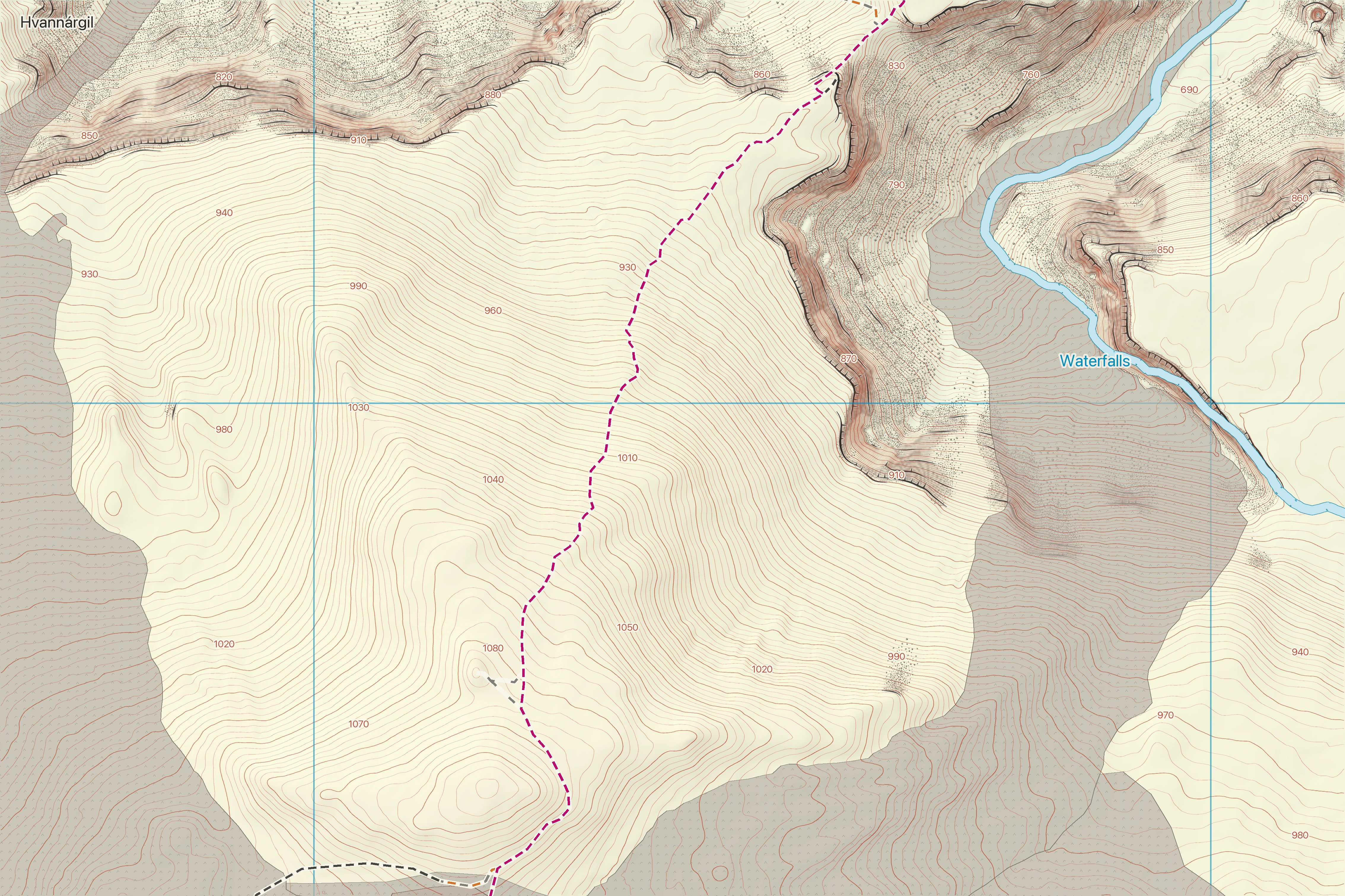
The development system combines elevation-derived terrain with regional mapping sources. It draws contours, crag and scree structure, hydrology, paths and specialist volcanic and glacial features within a shared hierarchy. Day and night themes are designed separately around those feature meanings.
Data
The explorer credits ArcticDEM terrain, IS 50V base mapping, Icelandic Meteorological Office glacier and crevasse data, Náttúrufræðistofnun lava and crater data, and supplemental OpenStreetMap paths. These are third-party source datasets; a consistent rendered style does not transfer ownership of them to Spatial Terrain.
Source attribution is available inside the live map explorer. A commissioned delivery needs a source and licence schedule for its particular area and intended use.
Result
The public demonstration provides a 5 × 9 km corridor, or 45 km², from the Magni and Móði area towards Þórsmörk. It covers the same footprint at nominal scales of 1:5,000, 1:10,000 and 1:25,000, with day and night themes, panning and zooming.
This is an inspectable production output. It demonstrates coverage, visual continuity and interaction. It does not by itself establish positional accuracy, field completeness, navigation suitability or improved outcomes for an organisation.
Explore the actual map →Limitations
Screen zoom changes the displayed scale. The nominal production scale is not a promise about physical scale on an uncalibrated screen. Terrain sampling, contour spacing, positional accuracy and print scale are separate properties.
Mapped glacier structures and crevasse classes are source-derived cartographic content, not a current crevasse-safety assessment. Glaciers, rivers, paths and volcanic conditions can change. Field review and current official information are needed for operational use.
Next steps for a commission
Agree the users, area, output formats and feature priorities; review source rights and coverage; produce a bounded sample; test legibility and accuracy against agreed references; then document acceptance criteria for the final delivery.
Symbols, colours, labels and overlays can be adapted for signboards, planning, volunteer fieldwork, research and outdoor mapping. Duration and price depend on the coverage, source readiness and review required.
Discuss a mapping brief →